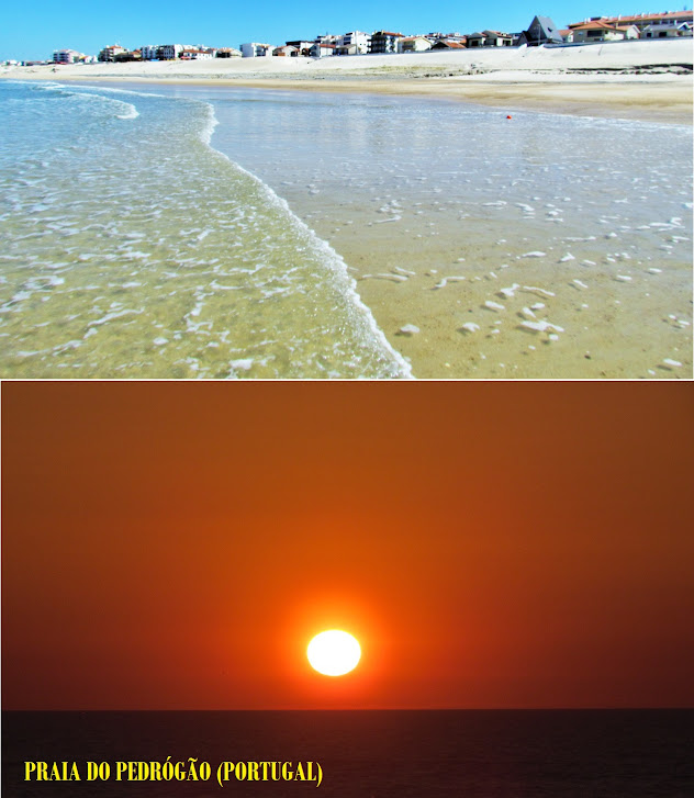
PRAIA DO PEDRÓGÃO
GPS: N 39º 54' 54'' ; W 8º 57' 00''
With a 1400 meter sandy beach, it owes its name to the huge rocky outcrop that intersects the extensive sand, south of the place, which now functions as a spur. It was to this rocky outcrop that the necessary rock for the construction of the jetties at the mouth of Lis was removed. We can divide the beaches in Pedrógão Norte (where the houses are) and Pedrógão Sul - the sand in the north area is much bigger (sometimes the beach of Pedrógão Sul even disappears due to the advance of the sea.
The extensive and thin sandy beach is flanked by extensive dunes vegetated by sea thistle, which are in an advanced state of destruction due to human occupation and trampling by tourists, making its conservation very important. Nowadays there has been an erosive retreat from the sand, mainly due to the construction of the jetties at the mouth of the Mondego.
With a sand of 1400 meters [1], it owes its name to the huge rocky outcrop that intersects the extensive sand, south of the place, which now functions as a spur. It was to this rocky outcrop that the necessary rock for the construction of the jetties at the mouth of Lis was removed. We can divide the beaches in Pedrógão Norte (where the houses are) and Pedrógão Sul - the sand in the north area is much bigger (sometimes the beach of Pedrógão Sul even disappears due to the advance of the sea.
The extensive and thin sandy beach is flanked by extensive dunes vegetated by sea thistle, which are in an advanced state of destruction due to human occupation and trampling by tourists, making its conservation very important. Nowadays there has been an erosive retreat from the sand, mainly due to the construction of the jetties at the mouth of the Mondego.
💓💓💓💓💓
SEARCH IN ALPHABETICAL ORDER
IN THE DISTRICT OF LEIRIA
💓💓💓💓💓
Return to mainland Portugal &
the Azores and Madeira islands


